

Planning a journey by public transport has never been easier. In addition to more old school bus and rail timetables, online journey planning tools and apps allow you to easily identify where to travel from and to, at what time, and on what service.
Online Journey Planners
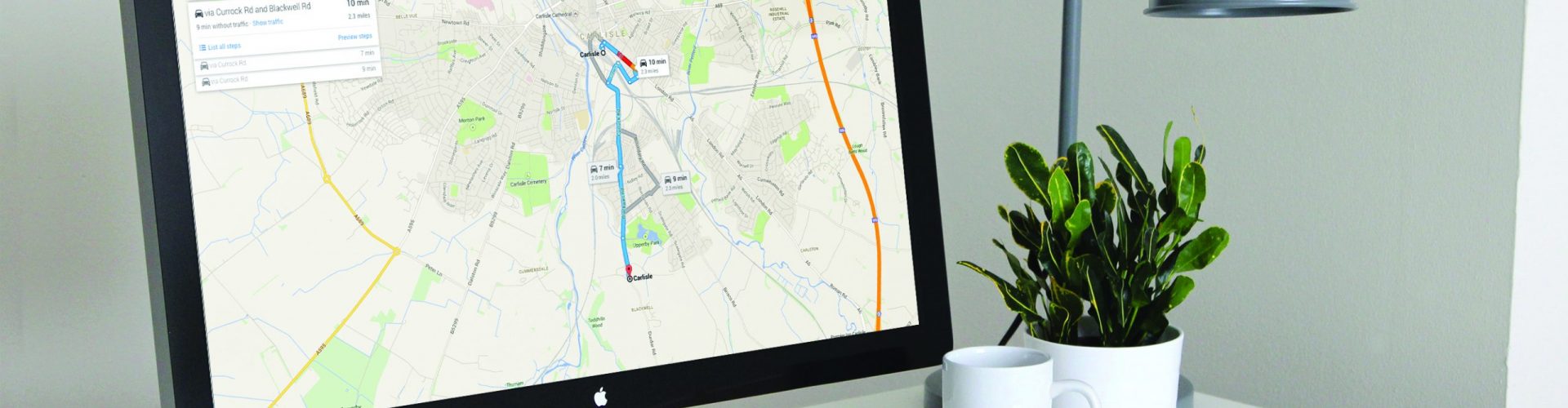
Online tools are a really easy option for planning your bus or train journey. Generally, they offer live updates on services making them really useful when service options are changing. All you need to do is enter where you want to travel from and to and your preferred travel time. The journey planner will do the rest.
West Yorkshire Metro have a great online journey planning tool for journeys made across the county. Plan your route from A to B and compare the options available whether you’re looking to travel by bus, train or a combination of both.
Timetables
It’s a good idea to look at timetables if you aren’t sure exactly when you’ll be travelling but would like to know the frequency of services.
The easiest way to view timetables for bus services in the local area is on the operator website, with the main operator being Arriva, as well as on the West Yorkshire Metro website.
Apps
Bus and rail apps are fast becoming the go to place for planning (and paying for) public transport journeys. Not only do they let you plan a journey between A and B, but bus operator apps also show you the location of your bus in real time on a user friendly map. Gone are the days of waiting around at the bus stop waiting for your bus.
Make sure you’re making the most of the bus apps available now by checking out our handy guide, or visit the operator website to download your app today.
Apps also provide a great way to plan a journey by train. In a similar way to bus apps, they allow you to easily plan a journey between any two stations, whilst also providing direct access to live updates, station information, booking facilities and much more. We’ve provided links to our favourite rail apps below.
Network Maps
To view a network maps of the rail stations across West Yorkshire, including zone information, click the button below.
West Yorkshire Metro also have a map of all the buses in the Leeds area, view it by following the link below.